Geographic
Advertisement
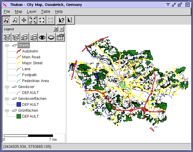
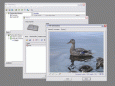
Thuban for Windows v.1.2.2
Thuban is an interactive geographic data viewer (GIS viewer) which features methods to visualize, explore, and analyze geographic information.
Advertisement
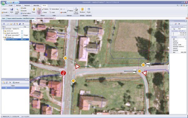
Geisom Professional v.1.5
Geisom is a geographic information system (gis) used to easily access complex geographical information.
TmsINTRANET
tmsINTRANET is a web-based application that facilitates communication, business processes and collaboration among employees and partners from different geographic locations. It is easy to use Takes only minutes to implement
CountryWhois
CountryWhois is a utility for identifying the geographic location of an IP address. CountryWhois can be used to analyze server logs, check e-mail address headers, identify online credit card fraud, or in any other instance where you need to quickly and
Woodstar FieldDiary
Electronic diary for storing of sightings and linked photos. You have templates for species, nest, sign and track and geographic objects such as locations, areas, routes and points. Also you can create your own templates for various data: text, number,

New Zealand Voyage Free Screensaver v.2.0.2
New Zealand is notable for its geographic isolation and extraordinary fauna and flora. The New Zealand Voyage Free screensaver shows you the amazing views of differrent corners of the country and provide the relaxing atmosphere on desktop.
Wandering IPs
Wandering IPs is IP geolocation software. Once launched it monitors TCP connections made to or from your PC, identifies remote IP adresses and then tries to determine their geographic locations. Apart from locating endpoinds, it can be used to determine
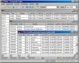
Geodaten International Admin
Geo data international world-wide with towns, town quarters and postal codes. Georeferences as UTM- and geographic coordinates (WGS84) and elevations. Suitable for branch searches, periphery searches and distance computations. Australia, Austria,
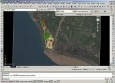
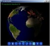
Plex.Earth Tools for AutoCAD
AutoCAD plug-in for advanced geographic interaction with Google Earth. Cover large areas with color imagery. Geo-locate site plans. Unique productivity tool with must-have features necessary for all engineers and architects. Plex.Earth is providing you a
Geo Data International Streets
For many countries street coordinates are present with coverage degrees of 100 percent. The geo data offered here are in high-precision quality and are present in several coordinate and reference systems (Geographic, UTM / WGS84, ETRS89). Street
Geo Data International Houses
For many countries house coordinates are present with coverage degrees of 100 percent. The geo data offered here are in high-precision quality and are present in several coordinate and reference systems (Geographic, UTM / WGS84, ETRS89). House Coordinates